Ooops... Error 404
If you haven't found what you're looking for, do another search
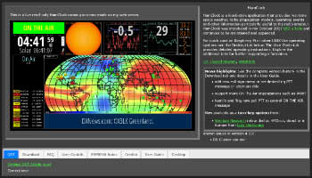
PSION Greyline Clock PSION Greyline Clock v. 1.0 is a UTC/Local clock showing sunlight/darkness area on the world map

Radioassistance Radioassistance E Kenwood Dealer, vendita ricetrasmittenti, antenne, parti di ricambio, elettronica
SunCalc SunCalc - sunrise, sunset, shadow length, solar eclipse, sun position, sun phase, sun height, sun calculator, sun movement, map, sunlight phases, elevation, Photovoltaic